Grange Heath
Introduction
The photograph on this page of Grange Heath by David Squire as part of the Geograph project.
The Geograph project started in 2005 with the aim of publishing, organising and preserving representative images for every square kilometre of Great Britain, Ireland and the Isle of Man.

There are currently over 7.5m images from over 14,400 individuals and you can help contribute to the project by visiting https://www.geograph.org.uk
Grange Heath
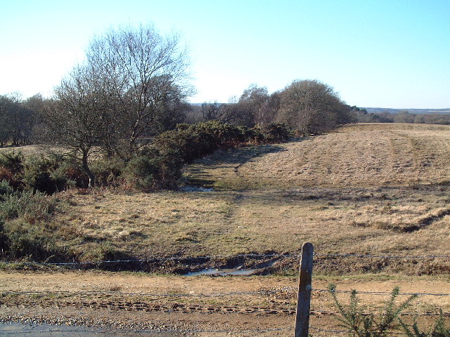
Image: © David Squire Taken: 29 Jan 2006
This photograph was taken in the extreme south west corner of the national nature reserve. The fence in the foreground marks the boundary with the Army training range.
Images are licensed for reuse under creativecommons.org/licenses/by-sa/2.0
Image Location
Latitude
50.645705
Longitude
-2.137138