Level Crossing near West Malling
Introduction
The photograph on this page of Level Crossing near West Malling by David Anstiss as part of the Geograph project.
The Geograph project started in 2005 with the aim of publishing, organising and preserving representative images for every square kilometre of Great Britain, Ireland and the Isle of Man.

There are currently over 7.5m images from over 14,400 individuals and you can help contribute to the project by visiting https://www.geograph.org.uk
Level Crossing near West Malling
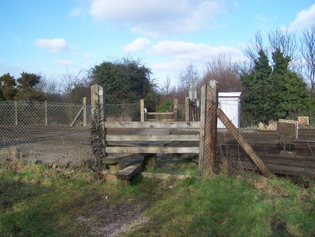
Image: © David Anstiss Taken: 27 Jan 2009
Footpath leads from Ryarsh Lane (near Station carpark) to A20 London Road, near Wheatsheaf Pub. Railway heads left to Borough Green from West Malling.
Images are licensed for reuse under creativecommons.org/licenses/by-sa/2.0
Image Location
Latitude
51.297315
Longitude
0.404744