Manor House
Introduction
The photograph on this page of Manor House by David Anstiss as part of the Geograph project.
The Geograph project started in 2005 with the aim of publishing, organising and preserving representative images for every square kilometre of Great Britain, Ireland and the Isle of Man.

There are currently over 7.5m images from over 14,400 individuals and you can help contribute to the project by visiting https://www.geograph.org.uk
Manor House
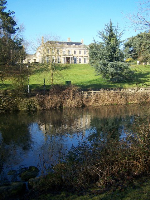
Image: © David Anstiss Taken: 27 Jan 2009
Also known as Douce's Manor. As seen from Manor Park Country Park. Both were once part of an 18th Century Country estate created by Thomas Douce. St.Leonard's Street runs in front of the house.
Images are licensed for reuse under creativecommons.org/licenses/by-sa/2.0
Image Location
Latitude
51.290279
Longitude
0.404448