Stanhope Road
Introduction
The photograph on this page of Stanhope Road by Alan Murray-Rust as part of the Geograph project.
The Geograph project started in 2005 with the aim of publishing, organising and preserving representative images for every square kilometre of Great Britain, Ireland and the Isle of Man.

There are currently over 7.5m images from over 14,400 individuals and you can help contribute to the project by visiting https://www.geograph.org.uk
Stanhope Road
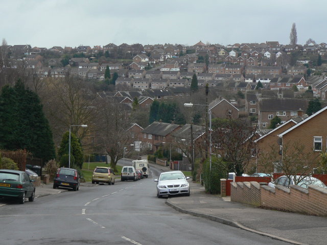
Image: © Alan Murray-Rust Taken: 1 Feb 2009
This was the last part of the residential development off Arnold Lane to be completed. Beyond, the horizontal rows of housing are part of the large estate built primarily to house workers at the adjacent Gedling Colliery.
Images are licensed for reuse under creativecommons.org/licenses/by-sa/2.0
Image Location
Latitude
52.984771
Longitude
-1.095962