Arnold Lane at Mapperley Plains
Introduction
The photograph on this page of Arnold Lane at Mapperley Plains by Alan Murray-Rust as part of the Geograph project.
The Geograph project started in 2005 with the aim of publishing, organising and preserving representative images for every square kilometre of Great Britain, Ireland and the Isle of Man.

There are currently over 7.5m images from over 14,400 individuals and you can help contribute to the project by visiting https://www.geograph.org.uk
Arnold Lane at Mapperley Plains
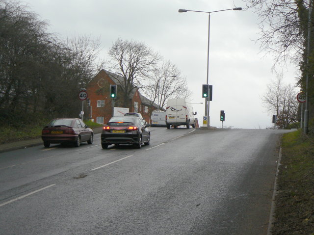
Image: © Alan Murray-Rust Taken: 1 Feb 2009
This is the opposite side of the junction seen in Image The sharpness of the ridge at this point is very evident.
Images are licensed for reuse under creativecommons.org/licenses/by-sa/2.0
Image Location
Latitude
52.991701
Longitude
-1.108928