Open space
Introduction
The photograph on this page of Open space by Alan Murray-Rust as part of the Geograph project.
The Geograph project started in 2005 with the aim of publishing, organising and preserving representative images for every square kilometre of Great Britain, Ireland and the Isle of Man.

There are currently over 7.5m images from over 14,400 individuals and you can help contribute to the project by visiting https://www.geograph.org.uk
Open space
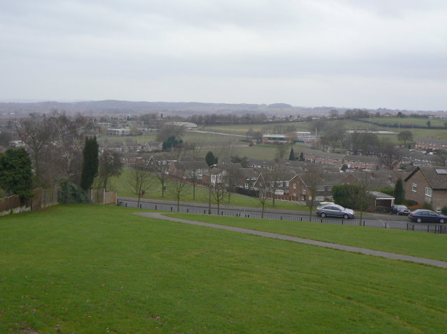
Image: © Alan Murray-Rust Taken: 1 Feb 2009
This area was safeguarded when the area was redeveloped in the late 1960s for the extension of Arno Vale Road up to Mapperley Plains to replace the relatively narrow Gedling Road. With the proposals to develop the former Gedling Colliery site, this could be resurrected.
Images are licensed for reuse under creativecommons.org/licenses/by-sa/2.0
Image Location
Latitude
52.994225
Longitude
-1.109919