Chartwell Grove
Introduction
The photograph on this page of Chartwell Grove by Alan Murray-Rust as part of the Geograph project.
The Geograph project started in 2005 with the aim of publishing, organising and preserving representative images for every square kilometre of Great Britain, Ireland and the Isle of Man.

There are currently over 7.5m images from over 14,400 individuals and you can help contribute to the project by visiting https://www.geograph.org.uk
Chartwell Grove
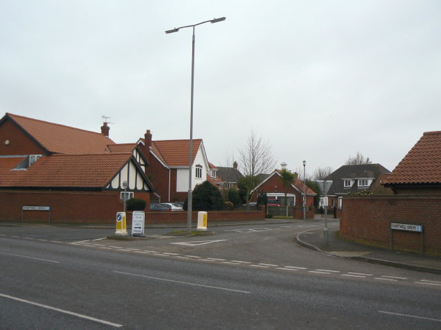
Image: © Alan Murray-Rust Taken: 1 Feb 2009
Modern housing development off Mapperley Plains. This area was previously the landsale wharf for Gedling Colliery.
Images are licensed for reuse under creativecommons.org/licenses/by-sa/2.0
Image Location
Latitude
52.993106
Longitude
-1.104578