Blackwater, steps
Introduction
The photograph on this page of Blackwater, steps by Mike Faherty as part of the Geograph project.
The Geograph project started in 2005 with the aim of publishing, organising and preserving representative images for every square kilometre of Great Britain, Ireland and the Isle of Man.

There are currently over 7.5m images from over 14,400 individuals and you can help contribute to the project by visiting https://www.geograph.org.uk
Blackwater, steps
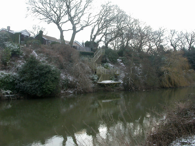
Image: © Mike Faherty Taken: 2 Feb 2009
Intricate steps leading to the River Stour from a house on River Way. Note snow-covered canoe on platform; for information on canoeing on the Stour, see http://www.ukriversguidebook.co.uk/seengland/stour.htm
Images are licensed for reuse under creativecommons.org/licenses/by-sa/2.0
Image Location
Latitude
50.757136
Longitude
-1.807142