Fairway Drive
Introduction
The photograph on this page of Fairway Drive by Alan Murray-Rust as part of the Geograph project.
The Geograph project started in 2005 with the aim of publishing, organising and preserving representative images for every square kilometre of Great Britain, Ireland and the Isle of Man.

There are currently over 7.5m images from over 14,400 individuals and you can help contribute to the project by visiting https://www.geograph.org.uk
Fairway Drive
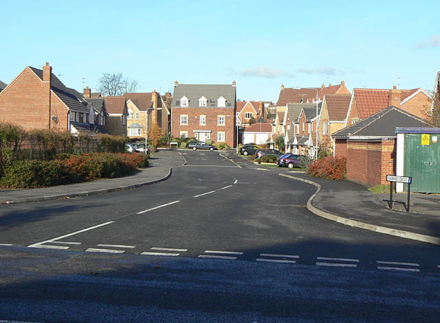
Image: © Alan Murray-Rust Taken: 18 Nov 2008
This is stage 1. Next you have to Image on your Image The names for this development were clearly devised by someone with a sense of humour. The raison d'etre is that the area was formerly a golf driving range.
Images are licensed for reuse under creativecommons.org/licenses/by-sa/2.0
Image Location
Latitude
52.97106
Longitude
-1.101609