Rutted field near Ravernet
Introduction
The photograph on this page of Rutted field near Ravernet by Albert Bridge as part of the Geograph project.
The Geograph project started in 2005 with the aim of publishing, organising and preserving representative images for every square kilometre of Great Britain, Ireland and the Isle of Man.

There are currently over 7.5m images from over 14,400 individuals and you can help contribute to the project by visiting https://www.geograph.org.uk
Rutted field near Ravernet
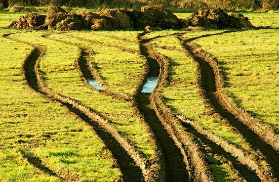
Image: © Albert Bridge Taken: 2 Feb 2009
Beside the Ravarnet Road Image and apparently caused by a digger – reason unknown though.
Images are licensed for reuse under creativecommons.org/licenses/by-sa/2.0
Image Location
Latitude
54.483828
Longitude
-6.048154