The Ravarnet River near Ravernet
Introduction
The photograph on this page of The Ravarnet River near Ravernet by Albert Bridge as part of the Geograph project.
The Geograph project started in 2005 with the aim of publishing, organising and preserving representative images for every square kilometre of Great Britain, Ireland and the Isle of Man.

There are currently over 7.5m images from over 14,400 individuals and you can help contribute to the project by visiting https://www.geograph.org.uk
The Ravarnet River near Ravernet
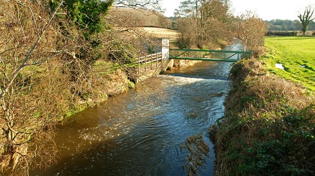
Image: © Albert Bridge Taken: 2 Feb 2009
The view downstream from the bridge on the Ravernet Road. The white building in the background is a gauging station used to monitor the state of the river and collect statistics on it.
Images are licensed for reuse under creativecommons.org/licenses/by-sa/2.0
Image Location
Latitude
54.484157
Longitude
-6.046286