Burpham - the End of Bowers Lane
Introduction
The photograph on this page of Burpham - the End of Bowers Lane by Colin Smith as part of the Geograph project.
The Geograph project started in 2005 with the aim of publishing, organising and preserving representative images for every square kilometre of Great Britain, Ireland and the Isle of Man.

There are currently over 7.5m images from over 14,400 individuals and you can help contribute to the project by visiting https://www.geograph.org.uk
Burpham - the End of Bowers Lane
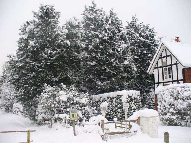
Image: © Colin Smith Taken: 2 Feb 2009
A rare snowy day on the Wey Navigation in Burpham, Guildford. The snow lies about 1 foot deep and to the left is the towpath.
Images are licensed for reuse under creativecommons.org/licenses/by-sa/2.0
Image Location
Latitude
51.264329
Longitude
-0.552922