Iford Golf Centre, driving range
Introduction
The photograph on this page of Iford Golf Centre, driving range by Mike Faherty as part of the Geograph project.
The Geograph project started in 2005 with the aim of publishing, organising and preserving representative images for every square kilometre of Great Britain, Ireland and the Isle of Man.

There are currently over 7.5m images from over 14,400 individuals and you can help contribute to the project by visiting https://www.geograph.org.uk
Iford Golf Centre, driving range
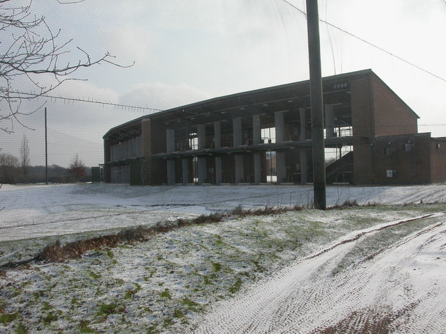
Image: © Mike Faherty Taken: 2 Feb 2009
Surrounded on left & right by netting; judging from all the balls lying around, it needs to be! The web-site boasts that it is floodlit all day; this is however a significant source of light pollution that can be seen from a long distance. http://www.ifordgolfcentre.co.uk/showpage.asp?p=117
Images are licensed for reuse under creativecommons.org/licenses/by-sa/2.0
Image Location
Latitude
50.751307
Longitude
-1.816805