View from churchyard of St Martin of Tours
Introduction
The photograph on this page of View from churchyard of St Martin of Tours by Hugh Craddock as part of the Geograph project.
The Geograph project started in 2005 with the aim of publishing, organising and preserving representative images for every square kilometre of Great Britain, Ireland and the Isle of Man.

There are currently over 7.5m images from over 14,400 individuals and you can help contribute to the project by visiting https://www.geograph.org.uk
View from churchyard of St Martin of Tours
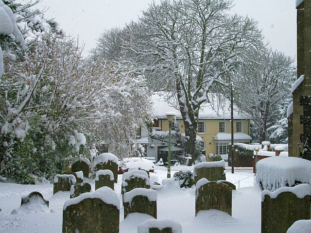
Image: © Hugh Craddock Taken: 2 Feb 2009
View from the churchyard on the south side of the nave of St Martin of Tours, looking into Pitt Place (the car park at the front of the church) and across Church Street to 24a Church Street, an C18 former coach house and stables to 24 Church Street.
Images are licensed for reuse under creativecommons.org/licenses/by-sa/2.0
Image Location
Latitude
51.330579
Longitude
-0.260309