Manchester Road Ramsbottom
Introduction
The photograph on this page of Manchester Road Ramsbottom by Paul Anderson as part of the Geograph project.
The Geograph project started in 2005 with the aim of publishing, organising and preserving representative images for every square kilometre of Great Britain, Ireland and the Isle of Man.

There are currently over 7.5m images from over 14,400 individuals and you can help contribute to the project by visiting https://www.geograph.org.uk
Manchester Road Ramsbottom
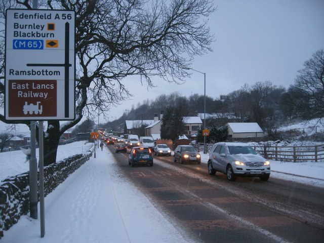
Image: © Paul Anderson Taken: 2 Feb 2009
This is the A56 Manchester Road seen here after a night of heavy snow. The A56 runs parallel with the nearby M66 motorway and is the main diversion route when the motorway is closed which is signified by the black diamond on the road sign in the picture. Image
Images are licensed for reuse under creativecommons.org/licenses/by-sa/2.0
Image Location
Latitude
53.644715
Longitude
-2.30295