Road junction, Kirkoswald
Introduction
The photograph on this page of Road junction, Kirkoswald by Humphrey Bolton as part of the Geograph project.
The Geograph project started in 2005 with the aim of publishing, organising and preserving representative images for every square kilometre of Great Britain, Ireland and the Isle of Man.

There are currently over 7.5m images from over 14,400 individuals and you can help contribute to the project by visiting https://www.geograph.org.uk
Road junction, Kirkoswald
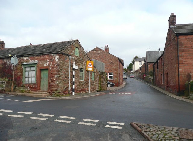
Image: © Humphrey Bolton Taken: 29 Jan 2009
This is the junction near the top end of the village. The road forward, with the old guide post, is the B6413 to Castle Carrock and Brampton, and the road to the left goes to Armathwaite. There is what looks like a disused shop on the left.
Images are licensed for reuse under creativecommons.org/licenses/by-sa/2.0
Image Location
Latitude
54.764639
Longitude
-2.694674