From Clune Brae to Cardross and Dumbarton
Introduction
The photograph on this page of From Clune Brae to Cardross and Dumbarton by Jim Webster as part of the Geograph project.
The Geograph project started in 2005 with the aim of publishing, organising and preserving representative images for every square kilometre of Great Britain, Ireland and the Isle of Man.

There are currently over 7.5m images from over 14,400 individuals and you can help contribute to the project by visiting https://www.geograph.org.uk
From Clune Brae to Cardross and Dumbarton
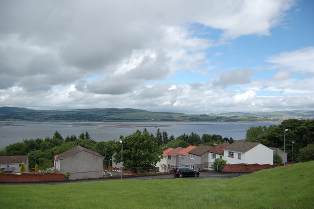
Image: © Jim Webster Taken: 28 Jun 2008
Looking over Brookfield Avenue, From Kilmalcolm Road/Clune Brae to Cardross and Dumbarton on the Northern bank of the Clyde.
Images are licensed for reuse under creativecommons.org/licenses/by-sa/2.0
Image Location
Latitude
55.928975
Longitude
-4.662933