Weighbridge House, Station Road
Introduction
The photograph on this page of Weighbridge House, Station Road by Gordon Hatton as part of the Geograph project.
The Geograph project started in 2005 with the aim of publishing, organising and preserving representative images for every square kilometre of Great Britain, Ireland and the Isle of Man.

There are currently over 7.5m images from over 14,400 individuals and you can help contribute to the project by visiting https://www.geograph.org.uk
Weighbridge House, Station Road
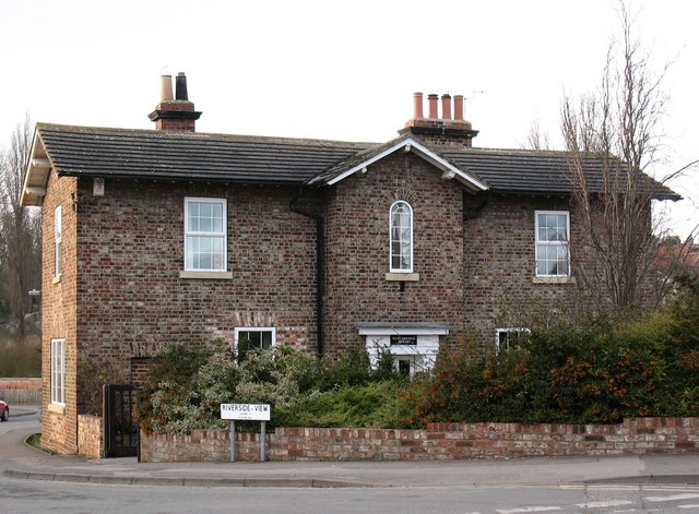
Image: © Gordon Hatton Taken: 31 Jan 2009
The house looks to be of the 1840's in a 'railway' style. Old maps reveal that there were once sidings and goods yards behind the building, so one can guess that its name refers to its original function.
Images are licensed for reuse under creativecommons.org/licenses/by-sa/2.0
Image Location
Latitude
54.132804
Longitude
-0.798272