Footpath through Goblestubb's Copse
Introduction
The photograph on this page of Footpath through Goblestubb's Copse by Dave Spicer as part of the Geograph project.
The Geograph project started in 2005 with the aim of publishing, organising and preserving representative images for every square kilometre of Great Britain, Ireland and the Isle of Man.

There are currently over 7.5m images from over 14,400 individuals and you can help contribute to the project by visiting https://www.geograph.org.uk
Footpath through Goblestubb's Copse
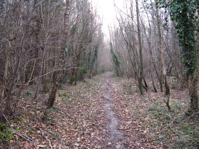
Image: © Dave Spicer Taken: 31 Jan 2009
Short path that runs from the A27 to bridleway adjacent to A27. 2021 update. Will this path be under threat due to a new bypass?
Images are licensed for reuse under creativecommons.org/licenses/by-sa/2.0
Image Location


Leaflet Map data © OpenStreetMap
Latitude
50.85857
Longitude
-0.596633