Flooding below East Cult farm
Introduction
The photograph on this page of Flooding below East Cult farm by Gordon Brown as part of the Geograph project.
The Geograph project started in 2005 with the aim of publishing, organising and preserving representative images for every square kilometre of Great Britain, Ireland and the Isle of Man.

There are currently over 7.5m images from over 14,400 individuals and you can help contribute to the project by visiting https://www.geograph.org.uk
Flooding below East Cult farm
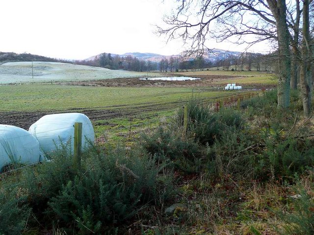
Image: © Gordon Brown Taken: 24 Jan 2009
This pool is not shown on OS mappings but appears permanent from the vegetation around it.
Images are licensed for reuse under creativecommons.org/licenses/by-sa/2.0
Image Location
Latitude
56.557195
Longitude
-3.509255