Boating Lake, Brightlingsea
Introduction
The photograph on this page of Boating Lake, Brightlingsea by Bob Jones as part of the Geograph project.
The Geograph project started in 2005 with the aim of publishing, organising and preserving representative images for every square kilometre of Great Britain, Ireland and the Isle of Man.

There are currently over 7.5m images from over 14,400 individuals and you can help contribute to the project by visiting https://www.geograph.org.uk
Boating Lake, Brightlingsea
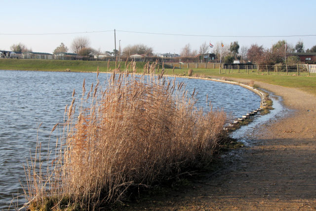
Image: © Bob Jones Taken: 29 Jan 2009
Dug out of the salt marsh in the 1930s, the lake is about a metre deep. It is topped up with sea water at high tide from sluices direct from the beach. The lack of fresh water has led swans and some ducks to walk their chicks away from the lake in search of other fresh water ponds.
Images are licensed for reuse under creativecommons.org/licenses/by-sa/2.0
Image Location
Latitude
51.807868
Longitude
1.019981