Houndean Area, Lewes
Introduction
The photograph on this page of Houndean Area, Lewes by Kevin Gordon as part of the Geograph project.
The Geograph project started in 2005 with the aim of publishing, organising and preserving representative images for every square kilometre of Great Britain, Ireland and the Isle of Man.

There are currently over 7.5m images from over 14,400 individuals and you can help contribute to the project by visiting https://www.geograph.org.uk
Houndean Area, Lewes
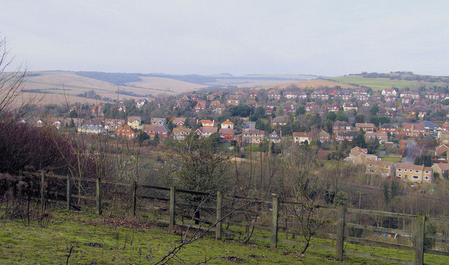
Image: © Kevin Gordon Taken: 31 Jan 2009
With Offham Hill and Mount Harry in the distance. Taken from Juggs Lane.
Images are licensed for reuse under creativecommons.org/licenses/by-sa/2.0
Image Location
Latitude
50.870835
Longitude
-0.011132