Frosty Rails
Introduction
The photograph on this page of Frosty Rails by Bob Jenkins as part of the Geograph project.
The Geograph project started in 2005 with the aim of publishing, organising and preserving representative images for every square kilometre of Great Britain, Ireland and the Isle of Man.

There are currently over 7.5m images from over 14,400 individuals and you can help contribute to the project by visiting https://www.geograph.org.uk
Frosty Rails
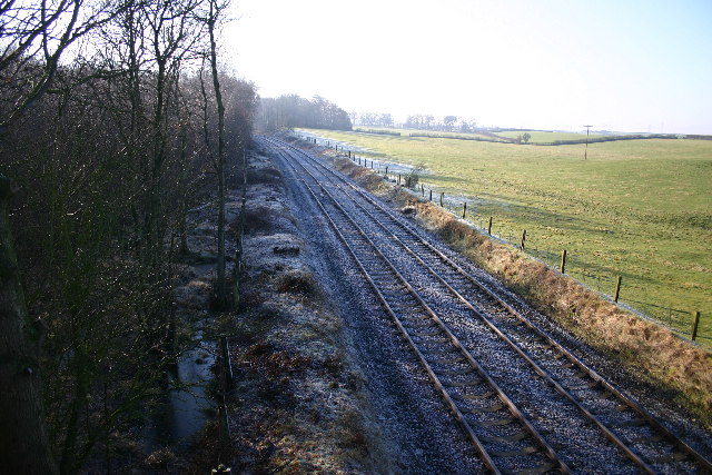
Image: © Bob Jenkins Taken: 29 Jan 2006
The line is the West Coast, from Carlisle to Maryport and beyond. The woods on the left now house paintball wars.
Images are licensed for reuse under creativecommons.org/licenses/by-sa/2.0
Image Location
Latitude
54.775741
Longitude
-3.308949