Erskine Hill
Introduction
The photograph on this page of Erskine Hill by Martin Addison as part of the Geograph project.
The Geograph project started in 2005 with the aim of publishing, organising and preserving representative images for every square kilometre of Great Britain, Ireland and the Isle of Man.

There are currently over 7.5m images from over 14,400 individuals and you can help contribute to the project by visiting https://www.geograph.org.uk
Erskine Hill
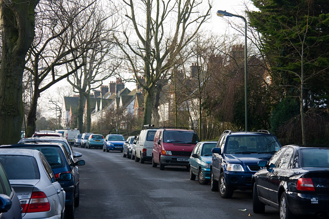
Image: © Martin Addison Taken: 30 Jan 2009
This road climbs south out of the valley of Mutton Brook, before turning southeast to connect with North Square. Parking spaces seem to be at a premium here. There are several nice size trees.
Images are licensed for reuse under creativecommons.org/licenses/by-sa/2.0
Image Location
Latitude
51.586664
Longitude
-0.193526