River Mole at Cobham
Introduction
The photograph on this page of River Mole at Cobham by Colin Smith as part of the Geograph project.
The Geograph project started in 2005 with the aim of publishing, organising and preserving representative images for every square kilometre of Great Britain, Ireland and the Isle of Man.

There are currently over 7.5m images from over 14,400 individuals and you can help contribute to the project by visiting https://www.geograph.org.uk
River Mole at Cobham
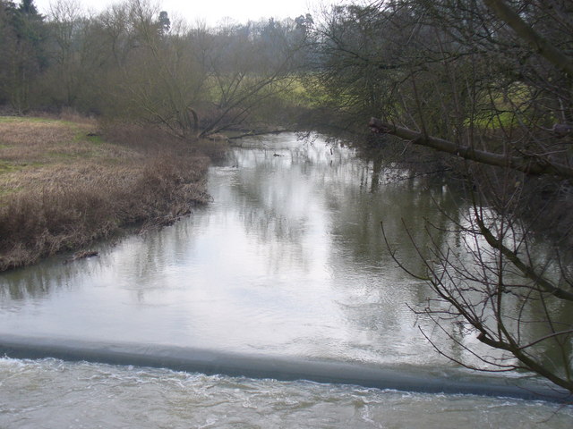
Image: © Colin Smith Taken: 31 Jan 2009
Looking upstream from Cobham Bridge. Here the Mole flows between Cobham village and Pain's Hill which is home to a landscaped Painshill Park estate. http://www.painshill.co.uk
Images are licensed for reuse under creativecommons.org/licenses/by-sa/2.0
Image Location
Latitude
51.332526
Longitude
-0.423307