Cobham Bridge
Introduction
The photograph on this page of Cobham Bridge by Colin Smith as part of the Geograph project.
The Geograph project started in 2005 with the aim of publishing, organising and preserving representative images for every square kilometre of Great Britain, Ireland and the Isle of Man.

There are currently over 7.5m images from over 14,400 individuals and you can help contribute to the project by visiting https://www.geograph.org.uk
Cobham Bridge
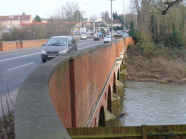
Image: © Colin Smith Taken: 31 Jan 2009
Widened and strengthened road bridge carrying the Portsmouth Road across the River Mole between the A3 and Cobham. The latest bridge was built in 1782, designed by Surrey County Surveyor, George Gwilt. A previous bridge was built in 1351.
Images are licensed for reuse under creativecommons.org/licenses/by-sa/2.0
Image Location
Latitude
51.333072
Longitude
-0.423719