Lyttelton Road
Introduction
The photograph on this page of Lyttelton Road by Martin Addison as part of the Geograph project.
The Geograph project started in 2005 with the aim of publishing, organising and preserving representative images for every square kilometre of Great Britain, Ireland and the Isle of Man.

There are currently over 7.5m images from over 14,400 individuals and you can help contribute to the project by visiting https://www.geograph.org.uk
Lyttelton Road
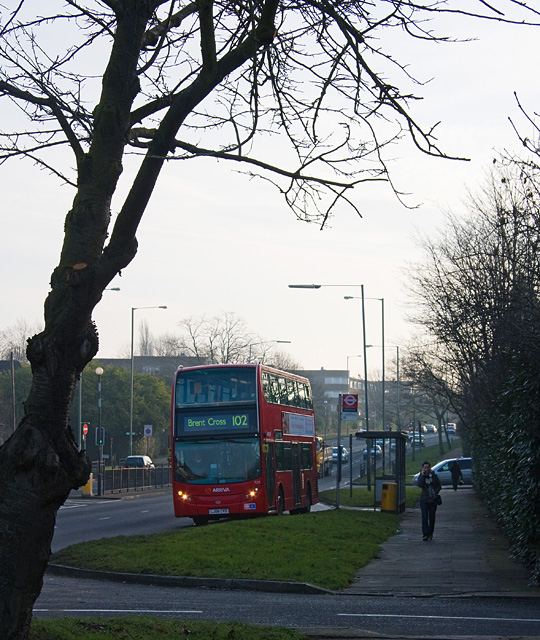
Image: © Martin Addison Taken: 30 Jan 2009
A 102 moves away from the stop after dropping off a passenger. The road in the foreground is a private road leading into Deacons Rise. The road beyond is Norrice Lea. The building in the distance, on the opposite side, is Belvedere Court.
Images are licensed for reuse under creativecommons.org/licenses/by-sa/2.0
Image Location
Latitude
51.584918
Longitude
-0.173675