Garn Fawr with view of the bay
Introduction
The photograph on this page of Garn Fawr with view of the bay by Natasha Ceridwen de Chroustchoff as part of the Geograph project.
The Geograph project started in 2005 with the aim of publishing, organising and preserving representative images for every square kilometre of Great Britain, Ireland and the Isle of Man.

There are currently over 7.5m images from over 14,400 individuals and you can help contribute to the project by visiting https://www.geograph.org.uk
Garn Fawr with view of the bay
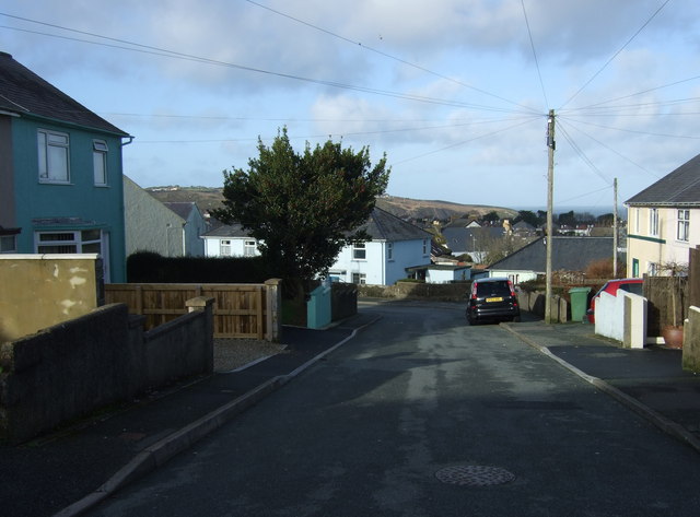
Image: © Natasha Ceridwen de Chroustchoff Taken: 18 Jan 2009
The sea view opens up towards the top of the road.
Images are licensed for reuse under creativecommons.org/licenses/by-sa/2.0
Image Location
Latitude
51.992171
Longitude
-4.97634