Morfa Las
Introduction
The photograph on this page of Morfa Las by Natasha Ceridwen de Chroustchoff as part of the Geograph project.
The Geograph project started in 2005 with the aim of publishing, organising and preserving representative images for every square kilometre of Great Britain, Ireland and the Isle of Man.

There are currently over 7.5m images from over 14,400 individuals and you can help contribute to the project by visiting https://www.geograph.org.uk
Morfa Las
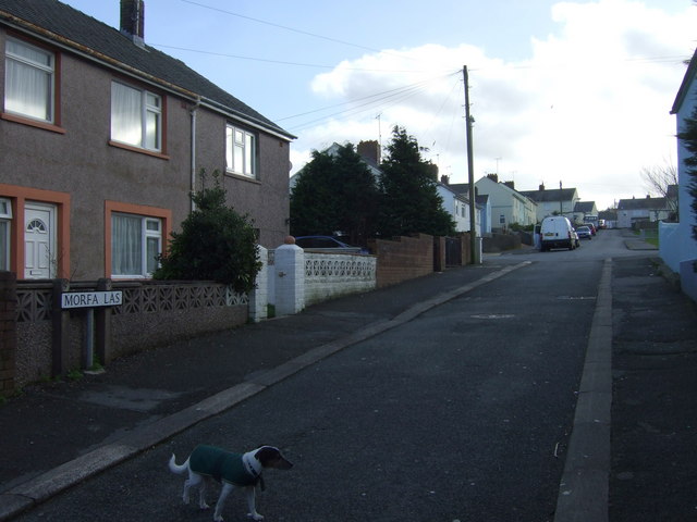
Image: © Natasha Ceridwen de Chroustchoff Taken: 18 Jan 2009
Post-war housing estate behind Hermon Baptist chapel.
Images are licensed for reuse under creativecommons.org/licenses/by-sa/2.0
Image Location
Latitude
51.992242
Longitude
-4.977073