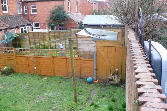
Back Gardens, Yeovil
Introduction
The photograph on this page of Back Gardens, Yeovil by Nigel Mykura as part of the Geograph project.
The Geograph project started in 2005 with the aim of publishing, organising and preserving representative images for every square kilometre of Great Britain, Ireland and the Isle of Man.
There are currently over 7.5m images from over 14,400 individuals and you can help contribute to the project by visiting https://www.geograph.org.uk

Image: © Nigel Mykura Taken: 29 Jan 2009
The red brick wall separates two gardens behind rows of Victorian terraces in Yeovil. Although difficult to see there is a snicket that runs along the wall on the left hand side. The gardens on the left have "reclaimed" the snicket. Until last year there were gates in every garden to allow access along the snicket. Now many gates have been removed and sheds placed over the line of the snicket. This reclamation starts at the end of the snicket furthest from the road and slowly works its way along. Approximately half of the length of the snicket has been reclaimed.

