The Millmount Road, Dundonald (2)
Introduction
The photograph on this page of The Millmount Road, Dundonald (2) by Albert Bridge as part of the Geograph project.
The Geograph project started in 2005 with the aim of publishing, organising and preserving representative images for every square kilometre of Great Britain, Ireland and the Isle of Man.

There are currently over 7.5m images from over 14,400 individuals and you can help contribute to the project by visiting https://www.geograph.org.uk
The Millmount Road, Dundonald (2)
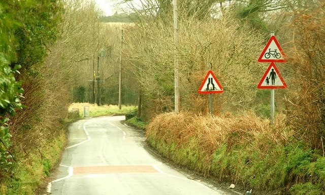
Image: © Albert Bridge Taken: 29 Jan 2009
See Image The view in the other direction. The signs warn of pedestrians and cyclists emerging from the Comber Greenway Image which makes a short diversion here.
Images are licensed for reuse under creativecommons.org/licenses/by-sa/2.0
Image Location
Latitude
54.583604
Longitude
-5.789531