Council Houses, Otterton
Introduction
The photograph on this page of Council Houses, Otterton by Graham Horn as part of the Geograph project.
The Geograph project started in 2005 with the aim of publishing, organising and preserving representative images for every square kilometre of Great Britain, Ireland and the Isle of Man.

There are currently over 7.5m images from over 14,400 individuals and you can help contribute to the project by visiting https://www.geograph.org.uk
Council Houses, Otterton
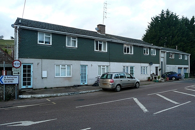
Image: © Graham Horn Taken: 24 Jan 2009
Yes, even pretty Devon villages have ugly council houses (sorry social housing), at the junction of Ottery Street, Bell Street and Fore Street.
Images are licensed for reuse under creativecommons.org/licenses/by-sa/2.0
Image Location
Latitude
50.660775
Longitude
-3.297328