Culverland Road, Liskeard
Introduction
The photograph on this page of Culverland Road, Liskeard by Derek Harper as part of the Geograph project.
The Geograph project started in 2005 with the aim of publishing, organising and preserving representative images for every square kilometre of Great Britain, Ireland and the Isle of Man.

There are currently over 7.5m images from over 14,400 individuals and you can help contribute to the project by visiting https://www.geograph.org.uk
Culverland Road, Liskeard
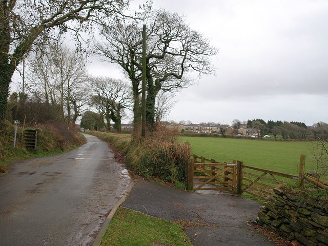
Image: © Derek Harper Taken: 22 Jan 2009
The lane from Culverland to Trevecca, incorrectly shown on some maps as "Culverwood Road". A footpath has thoughtfully been created behind the laneside bank which links the housing estate at Wrey Avenue in the background to what was formerly a rugby ground behind the camera, but is now a cemetery.
Images are licensed for reuse under creativecommons.org/licenses/by-sa/2.0
Image Location
Latitude
50.464074
Longitude
-4.465963