Lane to Welltown
Introduction
The photograph on this page of Lane to Welltown by Derek Harper as part of the Geograph project.
The Geograph project started in 2005 with the aim of publishing, organising and preserving representative images for every square kilometre of Great Britain, Ireland and the Isle of Man.

There are currently over 7.5m images from over 14,400 individuals and you can help contribute to the project by visiting https://www.geograph.org.uk
Lane to Welltown
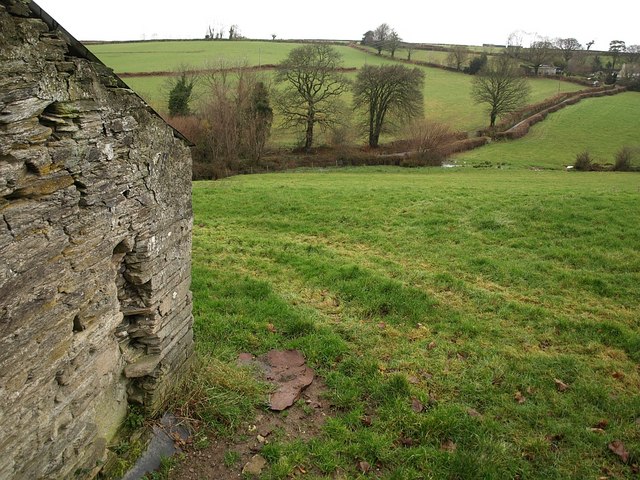
Image: © Derek Harper Taken: 22 Jan 2009
Trees along the tiny dead-end lane to the hamlet shown in Image crosses a small valley. Seen looking along the very western edge of the square from beside an outbuilding at Trembraze, on the lane to Hendra Bridge.
Images are licensed for reuse under creativecommons.org/licenses/by-sa/2.0
Image Location
Latitude
50.465157
Longitude
-4.453054