The British Queen Pub, Minster
Introduction
The photograph on this page of The British Queen Pub, Minster by David Anstiss as part of the Geograph project.
The Geograph project started in 2005 with the aim of publishing, organising and preserving representative images for every square kilometre of Great Britain, Ireland and the Isle of Man.

There are currently over 7.5m images from over 14,400 individuals and you can help contribute to the project by visiting https://www.geograph.org.uk
The British Queen Pub, Minster
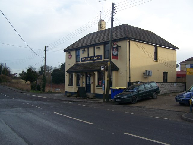
Image: © David Anstiss Taken: 24 Jan 2009
On junction of 115 Chequers Road (in front) and Elm Lane (going behind pub). Opposite Elm Lane is Oak Lane, with pub car park and leads to a caravan park as well as more housing.
Images are licensed for reuse under creativecommons.org/licenses/by-sa/2.0
Image Location
Latitude
51.419174
Longitude
0.823959