All Saints Church Radwell.
Introduction
The photograph on this page of All Saints Church Radwell. by Robin Hall as part of the Geograph project.
The Geograph project started in 2005 with the aim of publishing, organising and preserving representative images for every square kilometre of Great Britain, Ireland and the Isle of Man.

There are currently over 7.5m images from over 14,400 individuals and you can help contribute to the project by visiting https://www.geograph.org.uk
All Saints Church Radwell.
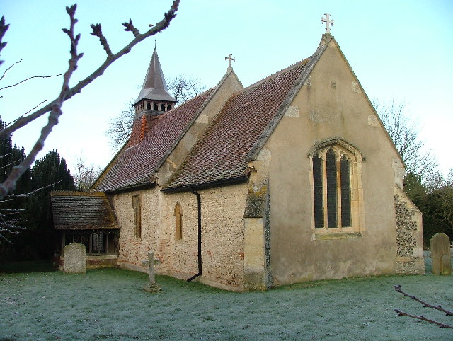
Image: © Robin Hall Taken: 29 Jan 2006
The sign says circa 1218. The graveyard seem to have some very recent graves in it.
Images are licensed for reuse under creativecommons.org/licenses/by-sa/2.0
Image Location
Latitude
52.006971
Longitude
-0.206518