The Bull Inn, Linton
Introduction
The photograph on this page of The Bull Inn, Linton by David Anstiss as part of the Geograph project.
The Geograph project started in 2005 with the aim of publishing, organising and preserving representative images for every square kilometre of Great Britain, Ireland and the Isle of Man.

There are currently over 7.5m images from over 14,400 individuals and you can help contribute to the project by visiting https://www.geograph.org.uk
The Bull Inn, Linton
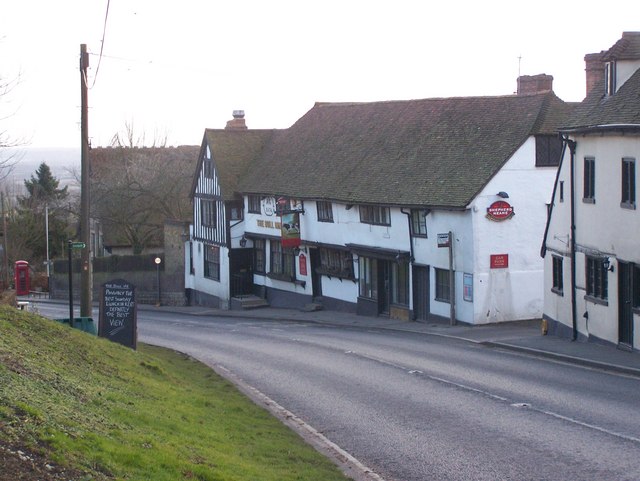
Image: © David Anstiss Taken: 21 Jan 2009
On Linton Hill. Opposite Church carpark. The Greensand Way (long distance path) crosses road from Church (signpost seen on church green) to go beside the pub leading towards Reason Hill, Coxheath.
Images are licensed for reuse under creativecommons.org/licenses/by-sa/2.0
Image Location
Latitude
51.2239
Longitude
0.510512