Wirral Country Park at Parkgate
Introduction
The photograph on this page of Wirral Country Park at Parkgate by John S Turner as part of the Geograph project.
The Geograph project started in 2005 with the aim of publishing, organising and preserving representative images for every square kilometre of Great Britain, Ireland and the Isle of Man.

There are currently over 7.5m images from over 14,400 individuals and you can help contribute to the project by visiting https://www.geograph.org.uk
Wirral Country Park at Parkgate
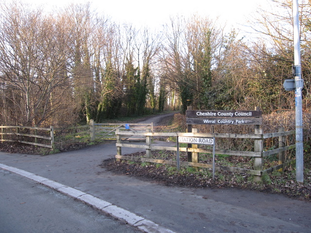
Image: © John S Turner Taken: 25 Jan 2009
This is the entrance to the Wirral Country Park from Station Road. This area was the site of the second Parkgate railway station as shown on the 1899 O.S. map. The earlier 1882 map shows the station further down the road on the other side with the railway terminating at that point.
Images are licensed for reuse under creativecommons.org/licenses/by-sa/2.0
Image Location
Latitude
53.29356
Longitude
-3.075796