Newcomen Street, Southwark
Introduction
The photograph on this page of Newcomen Street, Southwark by Stephen Craven as part of the Geograph project.
The Geograph project started in 2005 with the aim of publishing, organising and preserving representative images for every square kilometre of Great Britain, Ireland and the Isle of Man.

There are currently over 7.5m images from over 14,400 individuals and you can help contribute to the project by visiting https://www.geograph.org.uk
Newcomen Street, Southwark
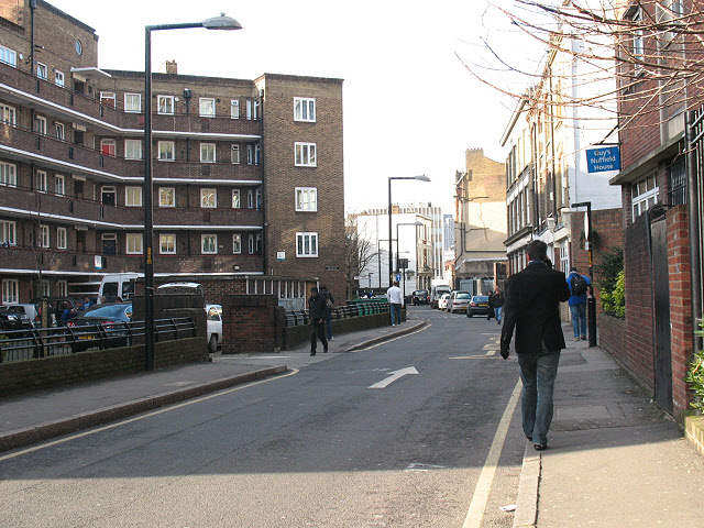
Image: © Stephen Craven Taken: 27 Jan 2009
Newcomen Street historically formed the southern boundary of St. Saviour's (now Cathedral) parish on the east side of Borough High Street. Like many of the streets and alleys of Southwark it developed from an inn yard, and was previously knows as Axe Yard. The properties along it are mostly owned by Marshall's Charity. [source: Survey of London: volume 22: Bankside (1950), http://www.british-history.ac.uk/report.aspx?compid=65314]
Images are licensed for reuse under creativecommons.org/licenses/by-sa/2.0
Image Location
Latitude
51.502829
Longitude
-0.089786