Reeds near Courtlands
Introduction
The photograph on this page of Reeds near Courtlands by Graham Horn as part of the Geograph project.
The Geograph project started in 2005 with the aim of publishing, organising and preserving representative images for every square kilometre of Great Britain, Ireland and the Isle of Man.

There are currently over 7.5m images from over 14,400 individuals and you can help contribute to the project by visiting https://www.geograph.org.uk
Reeds near Courtlands
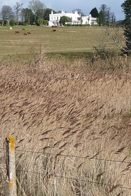
Image: © Graham Horn Taken: 23 Jan 2009
The view from the cycle path towards the estate of Courtlands. The low lying areas closest to the estuary are wet and have reeds like these.
Images are licensed for reuse under creativecommons.org/licenses/by-sa/2.0
Image Location
Latitude
50.637404
Longitude
-3.419716