Estate wall
Introduction
The photograph on this page of Estate wall by Graham Horn as part of the Geograph project.
The Geograph project started in 2005 with the aim of publishing, organising and preserving representative images for every square kilometre of Great Britain, Ireland and the Isle of Man.

There are currently over 7.5m images from over 14,400 individuals and you can help contribute to the project by visiting https://www.geograph.org.uk
Estate wall
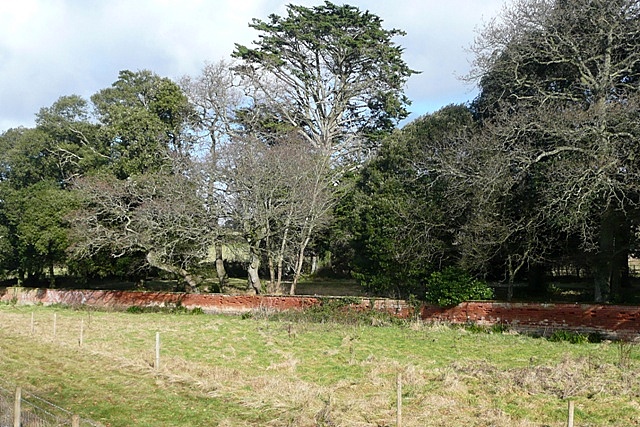
Image: © Graham Horn Taken: 23 Jan 2009
This is the wall of Courtlands, set back from the railway line and adjacent cyclepath on the east side of the estuary. There are a number of Holm Oak trees just inside the estate land.
Images are licensed for reuse under creativecommons.org/licenses/by-sa/2.0
Image Location
Latitude
50.638372
Longitude
-3.421442