Leigh Road, Eastleigh
Introduction
The photograph on this page of Leigh Road, Eastleigh by GaryReggae as part of the Geograph project.
The Geograph project started in 2005 with the aim of publishing, organising and preserving representative images for every square kilometre of Great Britain, Ireland and the Isle of Man.

There are currently over 7.5m images from over 14,400 individuals and you can help contribute to the project by visiting https://www.geograph.org.uk
Leigh Road, Eastleigh
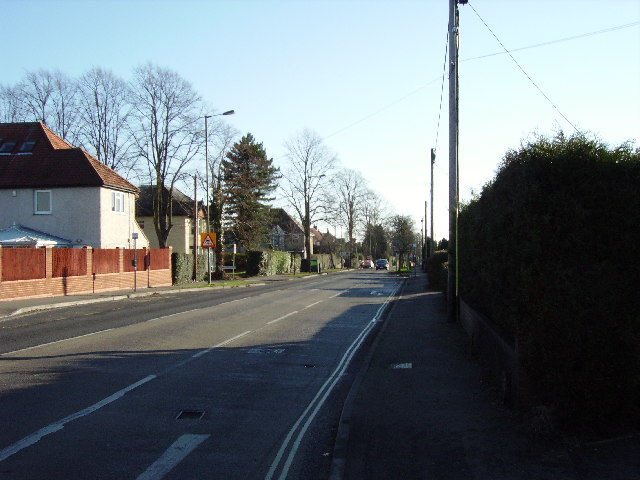
Image: © GaryReggae Taken: 29 Jan 2006
Leigh Road (A335) runs straight through the middle of this grid square and is the main road between Eastleigh and Chandlers Ford. The Chandlers Ford end of the road, pictured here, is almost entirely populated by 1930s suburban houses.
Images are licensed for reuse under creativecommons.org/licenses/by-sa/2.0
Image Location
Latitude
50.9742
Longitude
-1.386079