The Downe House School
Introduction
The photograph on this page of The Downe House School by Pam Brophy as part of the Geograph project.
The Geograph project started in 2005 with the aim of publishing, organising and preserving representative images for every square kilometre of Great Britain, Ireland and the Isle of Man.

There are currently over 7.5m images from over 14,400 individuals and you can help contribute to the project by visiting https://www.geograph.org.uk
The Downe House School
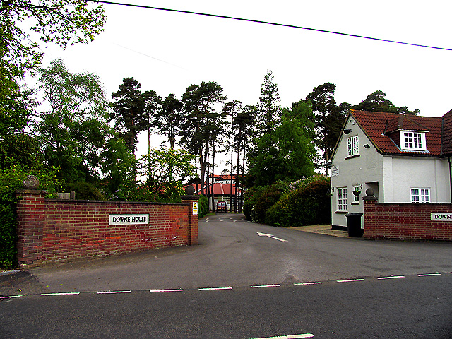
Image: © Pam Brophy Taken: 20 May 2005
This school has an excellent reputation and produces very good A level results. The school occupies the south eastern section of the grid square. It is surrounded by woodland and industrial/commercial and residential area.
Images are licensed for reuse under creativecommons.org/licenses/by-sa/2.0
Image Location
Latitude
51.440251
Longitude
-1.274824