The road to Marston Meysey
Introduction
The photograph on this page of The road to Marston Meysey by Brian Robert Marshall as part of the Geograph project.
The Geograph project started in 2005 with the aim of publishing, organising and preserving representative images for every square kilometre of Great Britain, Ireland and the Isle of Man.

There are currently over 7.5m images from over 14,400 individuals and you can help contribute to the project by visiting https://www.geograph.org.uk
The road to Marston Meysey
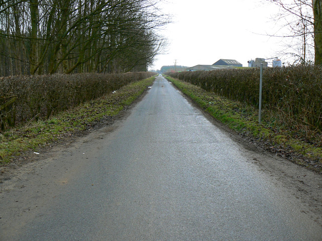
Image: © Brian Robert Marshall Taken: 27 Jan 2009
The eastern edge of this square is about 94 metres further on from the viewpoint. The farm on the right is just outside the square.
Images are licensed for reuse under creativecommons.org/licenses/by-sa/2.0
Image Location
Latitude
51.673196
Longitude
-1.842472