Meikle Bogs Farm at Gordonstown
Introduction
The photograph on this page of Meikle Bogs Farm at Gordonstown by Alison Mack as part of the Geograph project.
The Geograph project started in 2005 with the aim of publishing, organising and preserving representative images for every square kilometre of Great Britain, Ireland and the Isle of Man.

There are currently over 7.5m images from over 14,400 individuals and you can help contribute to the project by visiting https://www.geograph.org.uk
Meikle Bogs Farm at Gordonstown
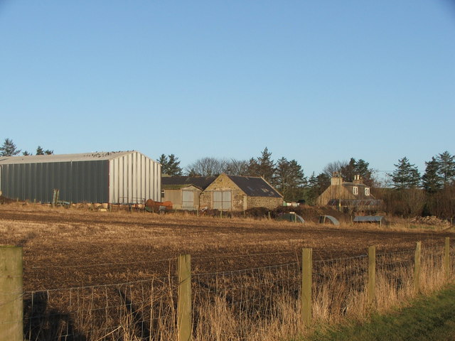
Image: © Alison Mack Taken: 26 Jan 2009
There are three Meikle Bogs farms within metres of each other at Gordonstown. This is the middle of the three - signposted "Sims, Meikle Bogs".
Images are licensed for reuse under creativecommons.org/licenses/by-sa/2.0
Image Location
Latitude
57.436842
Longitude
-2.473036