Firswood, The Quadrant
Introduction
The photograph on this page of Firswood, The Quadrant by Mike Faherty as part of the Geograph project.
The Geograph project started in 2005 with the aim of publishing, organising and preserving representative images for every square kilometre of Great Britain, Ireland and the Isle of Man.

There are currently over 7.5m images from over 14,400 individuals and you can help contribute to the project by visiting https://www.geograph.org.uk
Firswood, The Quadrant
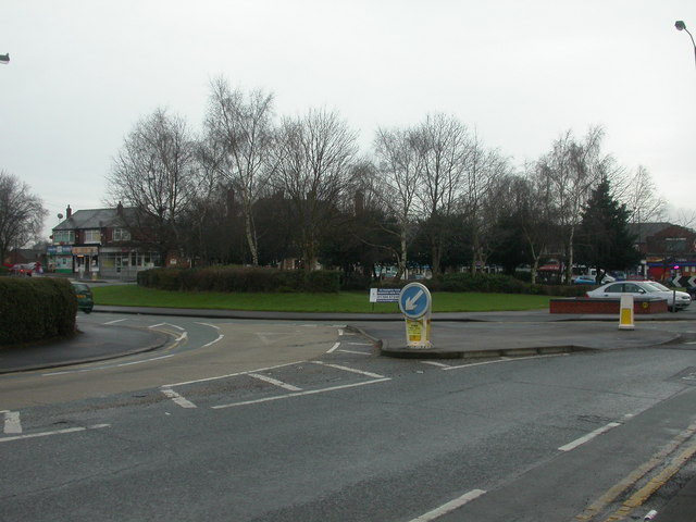
Image: © Mike Faherty Taken: 24 Jan 2009
Junction Great Stone & Kings Roads; focal point of 1930s housing development in Firswood. Planted out with shrubs and small trees, which are labour-saving for the local council. Visually marred by car parking. In the background, shopping parade Image
Images are licensed for reuse under creativecommons.org/licenses/by-sa/2.0
Image Location
Latitude
53.452404
Longitude
-2.286671