Aerial photo of Shenval and Lower Blairnain
Introduction
The photograph on this page of Aerial photo of Shenval and Lower Blairnain by John Kelly as part of the Geograph project.
The Geograph project started in 2005 with the aim of publishing, organising and preserving representative images for every square kilometre of Great Britain, Ireland and the Isle of Man.

There are currently over 7.5m images from over 14,400 individuals and you can help contribute to the project by visiting https://www.geograph.org.uk
Aerial photo of Shenval and Lower Blairnain
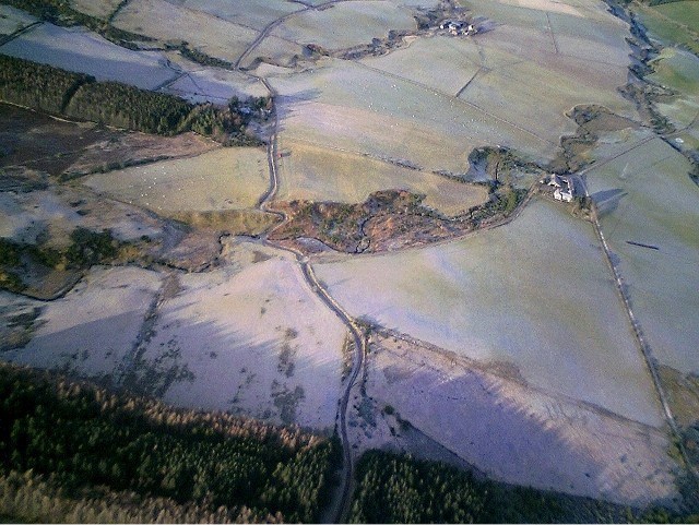
Image: © John Kelly Taken: 23 Dec 2008
Aerial photo taken on a frosty morning via a remote control model plane showing Lower Blairnain (centre right) and Shenval (centre left). The burn of Aberlour runs downstream through the picture from left to right.
Images are licensed for reuse under creativecommons.org/licenses/by-sa/2.0
Image Location
Latitude
57.431698
Longitude
-3.214455