Near Stafford Castle
Introduction
The photograph on this page of Near Stafford Castle by Simon Huguet as part of the Geograph project.
The Geograph project started in 2005 with the aim of publishing, organising and preserving representative images for every square kilometre of Great Britain, Ireland and the Isle of Man.

There are currently over 7.5m images from over 14,400 individuals and you can help contribute to the project by visiting https://www.geograph.org.uk
Near Stafford Castle
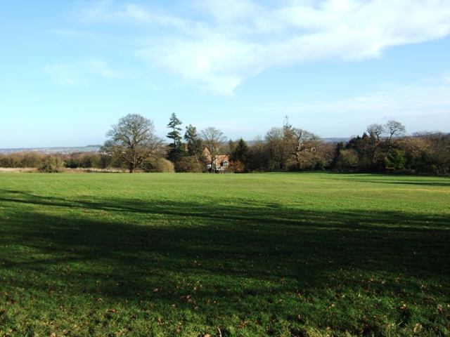
Image: © Simon Huguet Taken: 20 Jan 2009
The remains of the house platforms and hollow ways of the hamlet that clustered at the gates of the medieval castle can still just be found in this field between the castle and Castle church.
Images are licensed for reuse under creativecommons.org/licenses/by-sa/2.0
Image Location
Latitude
52.796467
Longitude
-2.142778