The Plough, Eathorpe
Introduction
The photograph on this page of The Plough, Eathorpe by Andy F as part of the Geograph project.
The Geograph project started in 2005 with the aim of publishing, organising and preserving representative images for every square kilometre of Great Britain, Ireland and the Isle of Man.

There are currently over 7.5m images from over 14,400 individuals and you can help contribute to the project by visiting https://www.geograph.org.uk
The Plough, Eathorpe
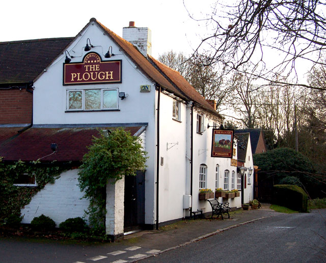
Image: © Andy F Taken: 26 Jan 2009
The Plough public house in Eathorpe is sandwiched between the old course of the Fosse Way (in the foreground of this photo) and the bypass which replaced it.
Images are licensed for reuse under creativecommons.org/licenses/by-sa/2.0
Image Location


Leaflet Map data © OpenStreetMap
Latitude
52.317253
Longitude
-1.424594