River bridge near Crossgar
Introduction
The photograph on this page of River bridge near Crossgar by Albert Bridge as part of the Geograph project.
The Geograph project started in 2005 with the aim of publishing, organising and preserving representative images for every square kilometre of Great Britain, Ireland and the Isle of Man.

There are currently over 7.5m images from over 14,400 individuals and you can help contribute to the project by visiting https://www.geograph.org.uk
River bridge near Crossgar
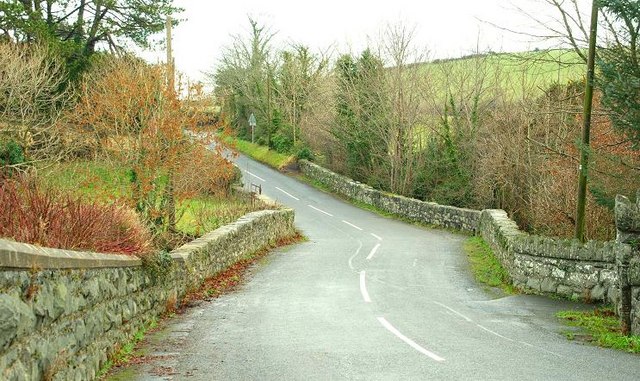
Image: © Albert Bridge Taken: 26 Jan 2009
The bridge carries the Drumaghlis Road over the Ballynahinch River Image It does not seem to have a name but, in Roads Service jargon, is called bridge no 50068. The view is in the direction of Saintfield. Kilmore Presbyterian church Image is out of picture to the right.
Images are licensed for reuse under creativecommons.org/licenses/by-sa/2.0
Image Location
Latitude
54.402043
Longitude
-5.81117